
This walk from The Bull's Head, Stratford Road, Wootton Wawen, B95 6BD on Saturday 13th April was led by Andrew & Helen Collis. It is just over 4.5 miles long.
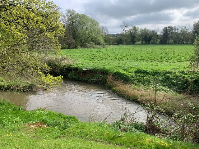
From The Bull's Head the walk quickly goes onto rural fields and then follows the path of the River Alne. At the end of a long disused railway line it then continues for about a mile along a reasonably quiet country lane with good verges and visibility of traffic. It then heads across fields, crossing a live but infrequent train line (take extra care though on crossing!). It then follows the towpath along the Stratford upon Avon Canal and then across fields coming out in Wootton Wawen opposite the ancient church. A short distance along the road and back to the Bulls Head which specialises in "fiercely authentic thai" food but also serves some traditional pub dishes.
The walk has no stiles. Some of the fields crossed had sheep and horses when we did the walk.
A map of the route and a link to a GPX file follow below the photo album.
Click the Learn more button above to open the map in Outdooractive from where you can download the route to the free Outdooractive app for Android or iOS, or export the route to a GPX file for use in other apps. A GPX file for this route (AAMB0017.gpx) can also be downloaded from this folder. For more about using Outdooractive, and a list of all our routes with GPS files, see: GPS Routes.
